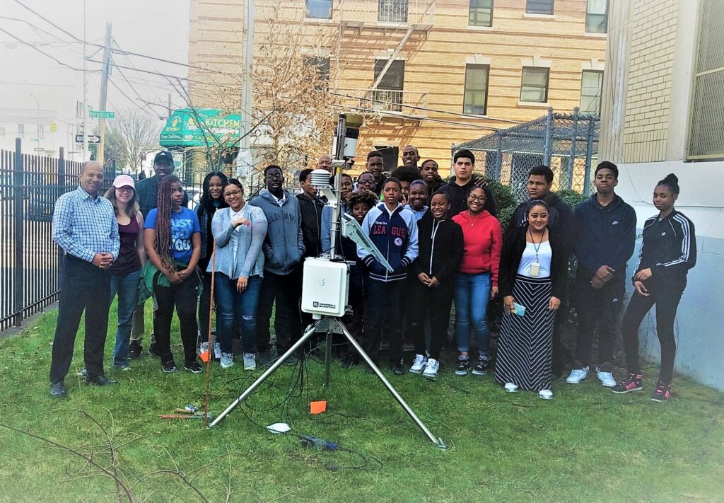
The New York Urban Hydrometeorological Testbed (NY-uHMT) is an advanced weather station network designed to monitor micro-climate variables across New York City with high accuracy. By integrating automated data acquisition, it supports climate adaptation and urban resilience efforts. NY-uHMT investigates key research questions, such as how urbanization alters runoff characteristics, the role of soil moisture deficits in exacerbating urban heat, and the broader micro-climate impacts of land use changes. These high-resolution observations provide critical insights for city planners, researchers, and policymakers, enabling better decision-making for flood management, heat mitigation, and long-term sustainability in rapidly evolving urban environments.
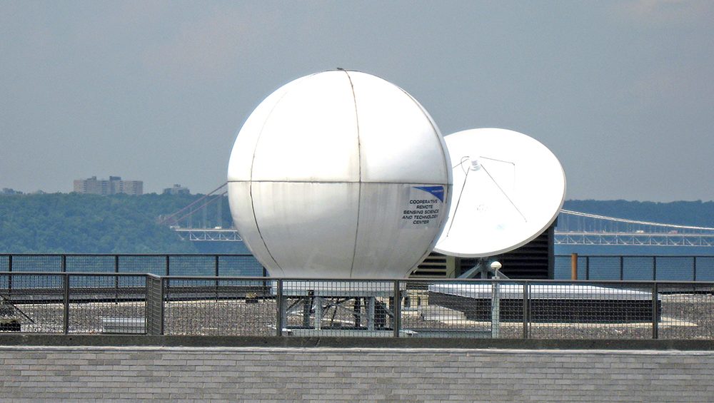
The Satellite Receiving Station (SRS) located at 3 Locations, CUNY, Hampton University and University of Puerto Rico, Mayaguez. Data types that can be received and processed are from X-band transmitting polar orbiting satellites, Suomi NPP, NOAA-18, NOAA-19,Terra and Aqua, both equipped with MODIS instruments, and L-band data from the geostationary (GEOS-12) satellite (only at CUNY).
The Remote Sensing and GIS laboratories located at CCNY provide facilities and resources for instruction and research in the areas of environmental remote sensing and spatial data processing using state-of-the-art capabilities for image processing, mapping, modeling, statistical analysis, and visualization. These Labs are focused on exploring the urban environment through Geographic Information Science. Current research areas include spatial analyses of urban environmental burdens, environmental justice, health disparities, health, and the built environment, urban demographics, hazard and risk assessments, and the connections between social and environmental conditions. These Labs include the GIS and Remote Sensing Lab (CM-7), GIS and Remote Sensing Lab (T-424), and The City College of New York (CCNY).
Advances in oceanic bio-optical processes are expected to be more heavily focused on improving satellite retrieval products of inherent optical properties (IOPs) of coastal waters, which, because of their complexity, offer more challenges than open ocean waters, where satellite observations and retrieval algorithms are already reasonably effective.