The New York Urban Hydrometeorological Testbed (NY-uHMT) is an advanced weather station network that tracks microclimate conditions across New York City. Using automated, high-resolution data collection, it supports research on urban heat, runoff, soil moisture, and land-use change. The network helps researchers, planners, and policymakers develop better strategies for flood mitigation, heat resilience, and sustainable urban development.
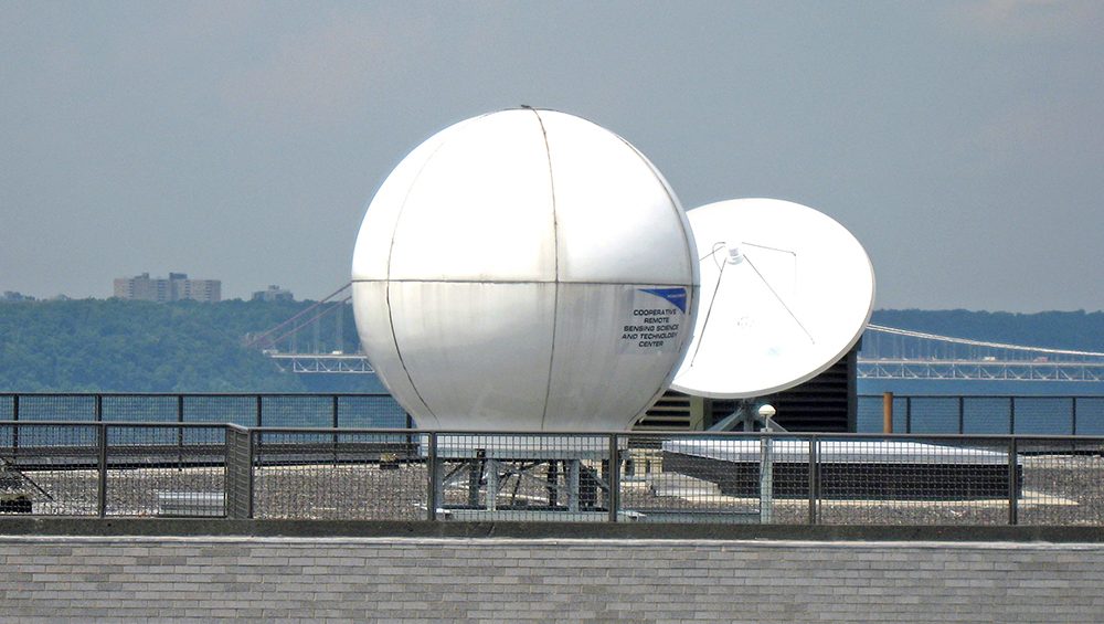
Satellite Receiving Stations (SRS) located at CUNY, Hampton University, and the University of Puerto Rico – Mayaguez, receive and process data from polar-orbiting satellites, including Suomi NPP, NOAA-18, NOAA-19, Terra, and Aqua. At CUNY, the station also receives L-band data from the geostationary GOES-12 satellite.
The Remote Sensing and GIS laboratories at CCNY support teaching and research in environmental remote sensing and spatial data analysis. Using advanced tools for mapping, modeling, visualization, and statistical analysis, the labs explore key urban issues such as health disparities, urban demographics, and hazard assessment. These facilities include the GIS and Remote Sensing Lab (CM-7) and the GIS and Remote Sensing Lab (T-424).
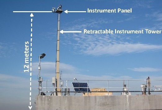
The Long Island Sound Coastal Observatory (LISCO) advances research on ocean bio-optical processes and improves satellite retrievals of the inherent optical properties (IOPs) of coastal waters. Coastal waters are more complex than open ocean environments, making them more difficult to observe and model.